The exquisite panorama of Turkey would be difficult to envision without the Marmara Sea’s sparkling waves. Having its connection to the Aegean and the Mediterranean Sea, the Sea of Marmara has a significant strategic value for Turkey. Here are some details about the Marmara Sea.
ETYMOLOGY AND HISTORY OF MARMARA SEA
Although the sea takes its name “Marmara” from the Greek word marmaron ‘μάρμαρον’, it is referred to as Marmaros, Marmora, Propontis, Propontidos in historical sources. The first settlements around the Marmara Sea date back to 6000 BC in Bursa.
The Marmara Sea has changed continuously over geological time, particularly during the Ice Ages, becoming a lake and then a sea. The last time the Marmara Sea remained a sea was about 6500-7000 years ago. The Marmara Sea mediated the rise of the water level in the Black Sea, which was a lake at the time, and its transition into the sea during the Black Sea Flood, which happened as a result of the Bosphorus filling with water.
THE IMPORTANCE OF MARMARA SEA
The Marmara Sea, which is the only sea within the borders of a country in the world, is suitable for maritime oceanographic and climatological structure, gulfs, harbours, settlement areas and the world geography and with its geopolitical and geoeconomic position throughout history has attracted the attention of various civilizations.
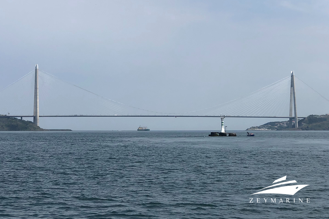
The Bosporus Strait and the Dardanelles Strait connect the Marmara Sea to the Black Sea and the Aegean Sea, respectively. The Marmara Sea is truly unique since it combines the hydrological characteristics of these two very different seas.
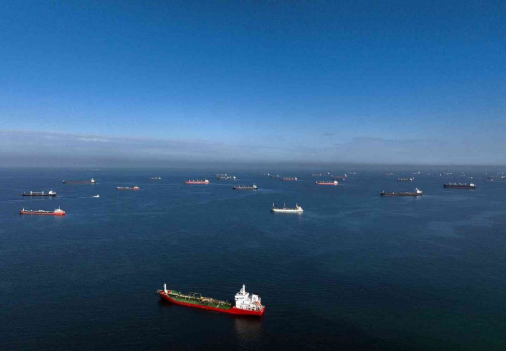
The Marmara is a unique inland sea due to its depths that are not expected from a small sea, its richness in terms of islands, and the characteristics of its waters in terms of temperature and salinity. It is also a waterway of international importance due to its location on the exit route from the Black Sea to the Mediterranean.
Although the Marmara is legally subject to the inland waters regime, it connects the two open seas, the Black Sea and the Aegean Sea. Thus, it is accepted as an international waterway.
HYDROGEOGRAPHIC UNIQUITY
There are great depths in the Marmara Sea which cannot be encountered in a small sea. Starting from the entrance of the Gulf of Izmit and extending towards the west, three large pits with a depth of more than 1.000 m. are lined up. The easternmost of these is the Çınarcık Trench, just south of the Prince Islands, with a depth of 1.238 meters. Marmara Ereğlisi Trough, located in the center between Marmara Ereğlisi and Kapıdağ Peninsula, has a depth of 1.390 meters. This pit is also the deepest point of the Marmara Sea. Further west, in front of Tekirdag, there is the Tekirdag Trench with a depth of 1,112 meters.
One of the factors that give the Marmara Sea its extraordinary features is its special current system. Currents form a two-layered water system in the Marmara Sea. The Black Sea, which is connected by the Bosphorus, receives abundant rainfall and is fed by strong rivers. In return, it does not evaporate adequately. Therefore, the water level of the Black Sea is invariably higher than that of the Marmara. Such that, the water level at the Black Sea entrance of the Bosphorus is 25 cm higher than the level in the region where the Bosphorus opens to the Sea of Marmara. Due to this height difference, there is a strong upstream current in the Bosphorus from the Black Sea to the Marmara Sea.
The surface water of the Marmara Sea is comprised of the low-density Black Sea water that flows through the Bosphorus. The warm, salty, and dense waters of the Aegean Sea, which reach the Sea of Marmara through the Dardanelles, lie beneath the upper layer. Under the Bosphorus, these waters also enter the Black Sea. The water level in our seas is stabilized by this double-layered, bidirectional current system in both straits. The lower layer is refilled by the Mediterranean waters on average every 6-7 years, while the higher layer is refilled by the Black Sea on average twice a year (every 5–6 months).
Due to these features, in a dive in the Marmara Sea, you can see both the Black Sea and Mediterranean species and discover the characteristics and differences between the two different seas in a single dive. According to recent studies, 235 fish species live in the Marmara Sea.
EARTHQUAKE RISKS
Under the Marmara Sea, west of the North Anatolian Fault line, a seismically active fault zone known as the Marmara Fault resides. These faults, which have caused catastrophic disasters throughout recorded history, are responsible for earthquakes like the 1509 Great Istanbul Earthquake and the 1999 Gölcük Earthquake. An earthquake is anticipated to occur in the near future.
THREATS
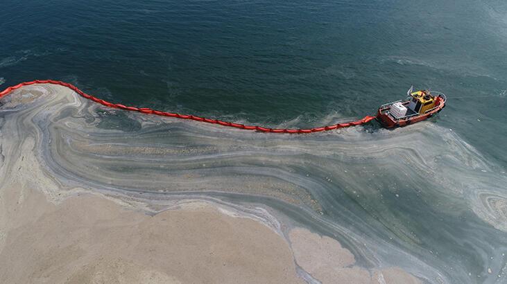
The Marmara Sea marine mucilage is an environmental hazard caused by the unusual increase of marine salivas in the Marmara Sea since the early 1990s due to various factors. Mucilage observed in the Marmara Sea has increased over time due to inadequate wastewater treatment, industrial activities, and climate change. Following this increase, the problem in 2021 reached dimensions that threatened the ecosystem of the Marmara Sea. As of 2021, the negative effects of sea saliva on the ecosystem, marine organisms, and the biodiversity of the Marmara Sea continue. However, as a result of the operations carried out, the sea saliva on the sea surface was mostly cleaned.
One of the primary issues with the Marmara Sea is pollution. The northeastern sea is particularly polluted by the wastes of densely populated cities like Istanbul and Izmit, as well as by major industrial facilities near Izmit Bay. Every day, more than 2 million cubic meters of domestic waste and 0.3 million cubic meters of industrial waste are discharged. The abundance of jellyfish in the water is regarded as evidence of this contamination.


