The ocean is a trickster—dark, scary, and sometimes brutal. Certain routes stand as epic tests of seamanship, nerves, and good fortune. Join the crew on the most dangerous sailing routes.
Cape Horn
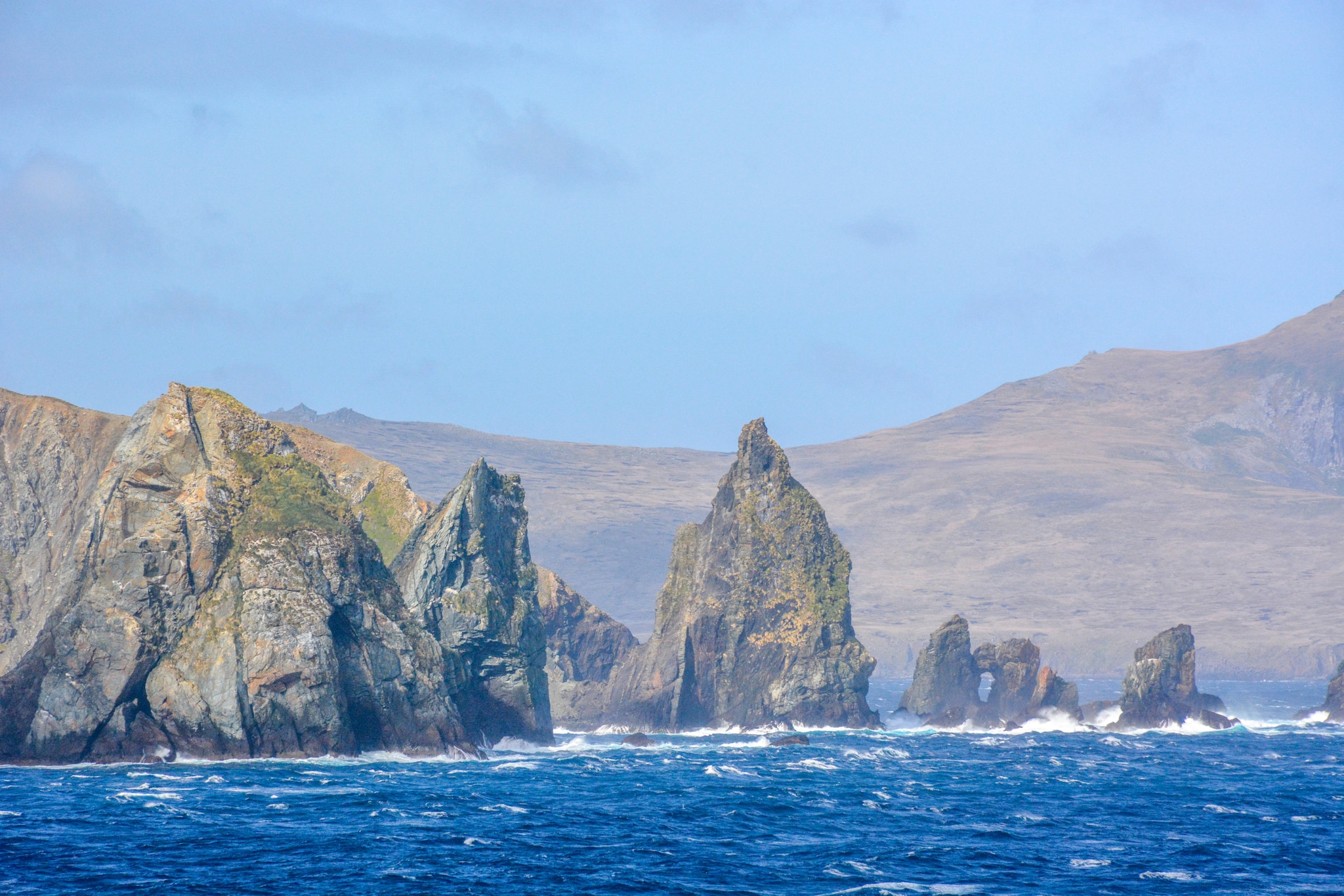
Cape Horn, sometimes called the “Mount Everest of sailing,” is one of the most challenging sailing routes in the world. Cape Horn marks the Drake Passage’s northern boundary and where the Atlantic and Pacific Oceans meet. Mariners first spotted Cape Horn in 1616, and Dutchmen Willem Schouten and Jacob Le Maire named it Kaap Hoorn, after the Dutch city of Hoorn.
This rocky peninsula at the southernmost extremity of the world has presented travelers with icy temperatures, unrelenting winds, and waves that look capable of engulfing entire ships for generations. Legends abound about Cape Horn, where a skipper can only hold onto the helm and pray for good fortune from the weather. This path is a difficult maritime journey due to icebergs and powerful westerlies, which are known as the “roaring forties.”
The Panama Canal’s inauguration in August 1914 significantly decreased the need for ships and boats to circumnavigate Cape Horn. Many people still consider sailing around Cape Horn to be one of the most difficult aspects of yachting.
The Horn is used by a number of well-known ocean boat races to circumnavigate the globe, including the Ocean Race, the solo Vendée Globe, and the Golden Globe Race. This path is known to set speed records for sailing around the world.
The Drake Passage
The waterway between Chile, Argentina, the South Shetland Islands of Antarctica, and the Cape Horn of South America is known as the Drake Passage.
Sir Francis Drake crossed the Pacific Ocean in 1578 after traveling through the Strait of Magellan with Marigold, Elizabeth, and his flagship Golden Hind. A tempest blew him far to the south. Elizabeth left the fleet after Marigold was lost. Drake’s Golden Hind was the only one to enter the passage.The English were shown that there was open water south of South America.
Francisco de Hoces, a Spanish sailor, discovered the Drake Passage in 1525 while heading south from the Strait of Magellan’s entrance. As a result, in Spanish maps and other sources, the Drake Passage is called the “Mar de Hoces (Sea of Hoces)”.
Crew men are constantly covered in salt spray and frequently cling to railings as the ship bucks like a stallion. Wide and merciless, the Drake Passage is a conduit for strong winds known as the “furious fifties.”
Icebergs look like ghosts in the mist, while waves roar in all directions. Every crew member’s wish list includes having a full stomach and dry feet, which are difficult to achieve on this turbulent voyage, and even the most resilient captain turns into an acrobat during this crossing.
The Cape of Good Hope
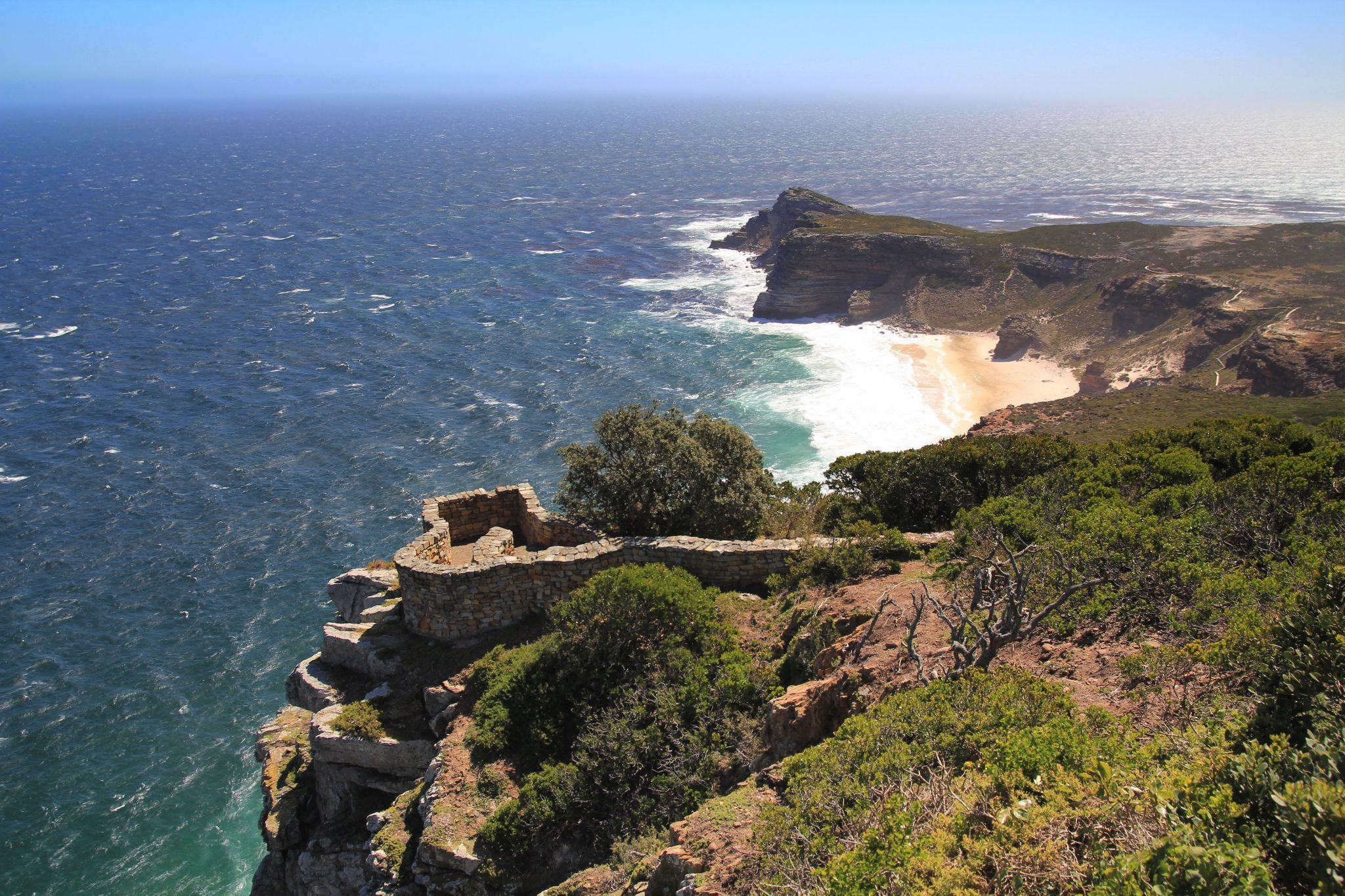
The rocky outcrop known as the Cape of Good Hope is located in the Western Cape province of South Africa, at the southern tip of the Cape Peninsula.
When Portuguese navigator Bartolomeu Dias returned to Portugal in 1488 after determining the southern boundaries of the African continent, he became the first European to witness the cape. According to one historical narrative, Dias gave the point the name Cape of Storms, but John II of Portugal changed it to Cape of Good Hope since its discovery was a sign that India might be reached by sea from Europe.
The Cape of Good Hope is well-known for its unexpected squalls and crosscurrents, which occur when the Atlantic and Indian Oceans collide. The Agulhas Current adds gasoline to the fire, causing waves that stack taller than buildings and can capsize even the most durable warships. Any sailor who has encountered a Cape storm would tell you that it is the closest they have been to seeing Poseidon himself.
The Gulf of Aden and the Somali Coast
The Gulf of Aden, wedged between Yemen and Somalia, is one of the world’s most perilous areas, known for both piracy and strong currents.
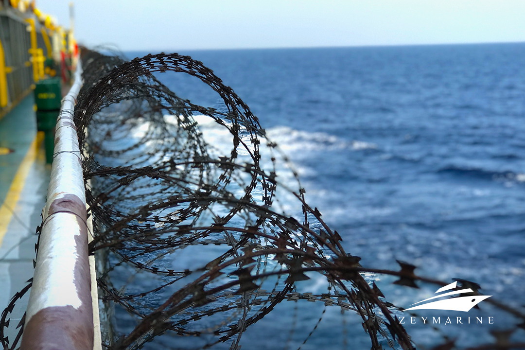
Crews are frequently on high alert, watching the horizon for pirate skiffs and preparing an armament. The potential of hijacking exists; captains must negotiate these waters with caution and skill, knowing that a misstep could result in an armed encounter or even ransom demands.
It’s a route where experienced mariners deploy stealth methods, blackout regulations, and, in some cases, armed escorts, creating an environment that feels more like a covert operation than an ordinary journey.
Bering Sea
The Bering Sea, which covers more than 2 million km2, is bordered in the west by the US state of Alaska and the Far Eastern region of Russia, and in the south by the Aleutian Islands.
Semyon Dezhnyov, a Russian explorer, was the first European to discover the Bering Sea and Strait in 1648. However, both the sea and the strait are named for Danish Captain Vitus Bering, who first thoroughly investigated the area with a group of Russian sailors in 1728.
The Bering Sea is where captains endure chilly waves, enormous swells, and a cold that eats through even the thickest equipment. Rogue waves are legendary in this area, crashing over decks and transforming fishing boats into seaside playgrounds. Icy decks make every step perilous, and the threat of sea ice looms huge.
Sailors are aware that large waves frequently break against the ship, causing reverberation through steel. For those who make it through this ordeal, it’s a source of pride, a monument to the tenacity required to master one of the most treacherous waterways on Earth.
The Bay of Biscay
The Bay of Biscay, which is located between Spain and France, may appear serene at first glance, yet its reputation precedes it. Sudden, brief storms transform this bay into a maelstrom, churning up waves that strike mercilessly.
Many sailors have been caught off guard by the fury of its gales and high seas, with unpredictable conditions leaving little room for error. For captains, it’s like sailing through a minefield of unpredictable swells and gusts, and the stakes remain high until they’re far out of Biscay’s reach.


